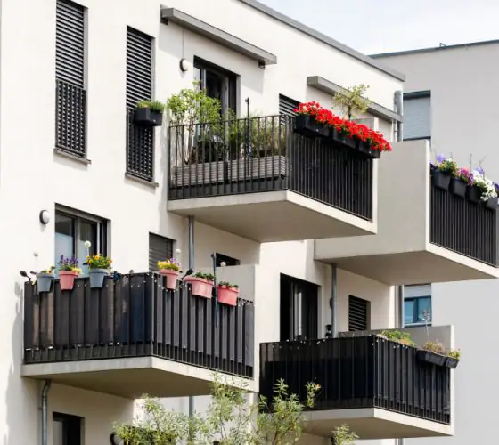
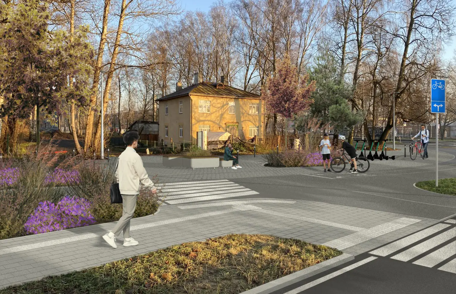
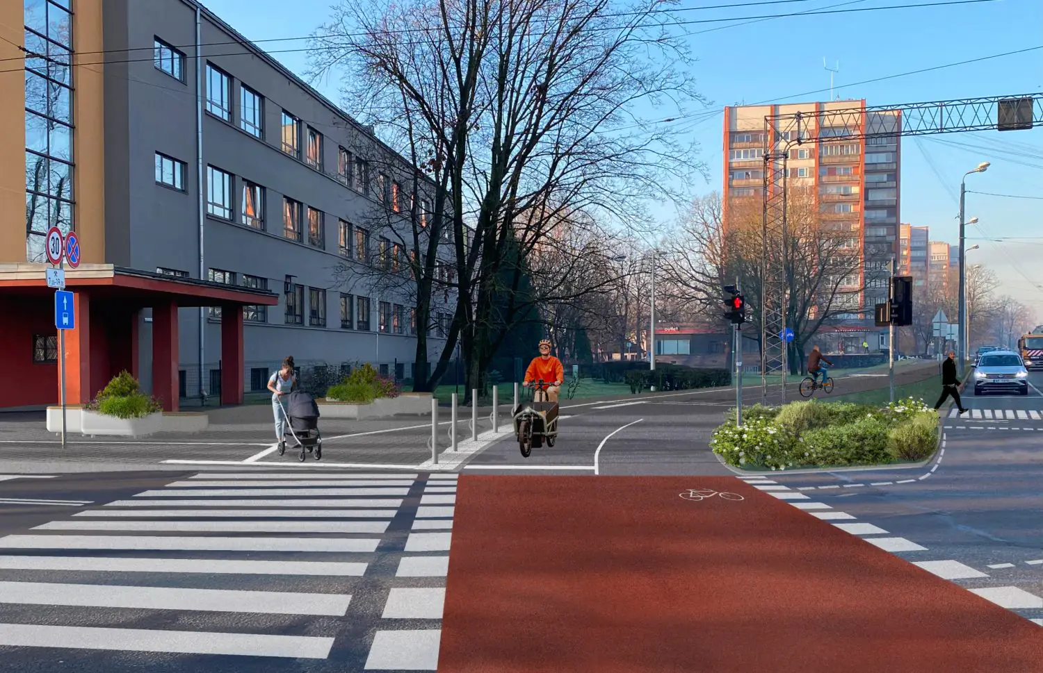
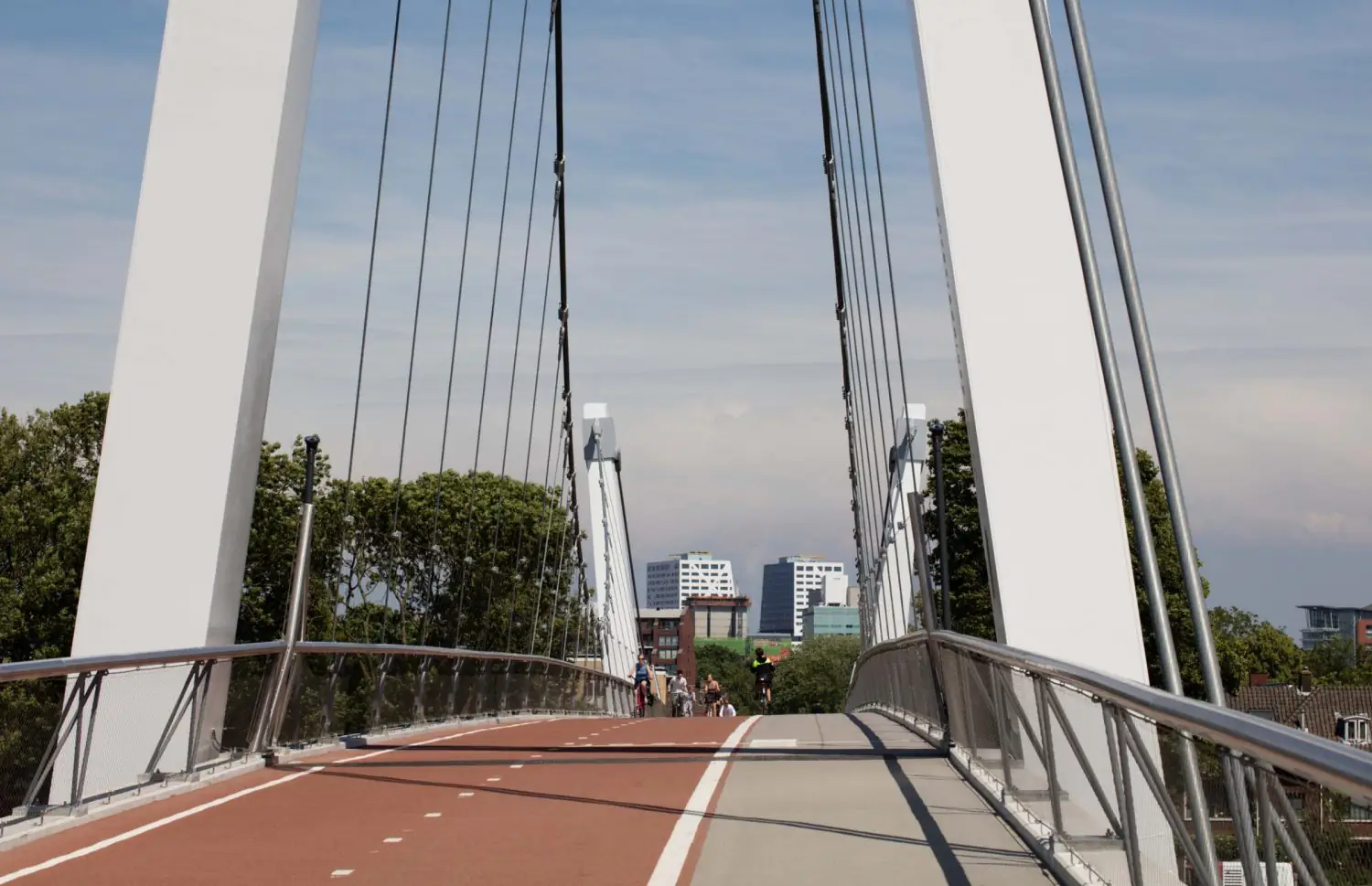
Construction of the Riga-Babite-Pinki cycle path began in July. According to Marta Kotelo, Chair of the Transport and Communications Committee, Riga needs this project because it involves improving pavements and redeveloping several intersections as well as building the cycle path, which will “significantly improve pedestrian safety”. The route is particularly important for cyclists travelling to Jurmala, as currently they have to squeeze onto footpaths or ride directly on the road.
flickr.com / Rīga
flickr.com / Rīga
flickr.com / Rīga
The total cost of the project is €13.2 million. A plan was put in place to fell 256 mature trees along the route connecting Kipsala and Imanta for the construction. This sparked protests from Imanta district residents, with 2,000 people collecting signatures against the decision in two days. This followed the Riga City Council’s Committee on Communications and Transport’s refusal to suspend the construction of the cycle path on 25 July.
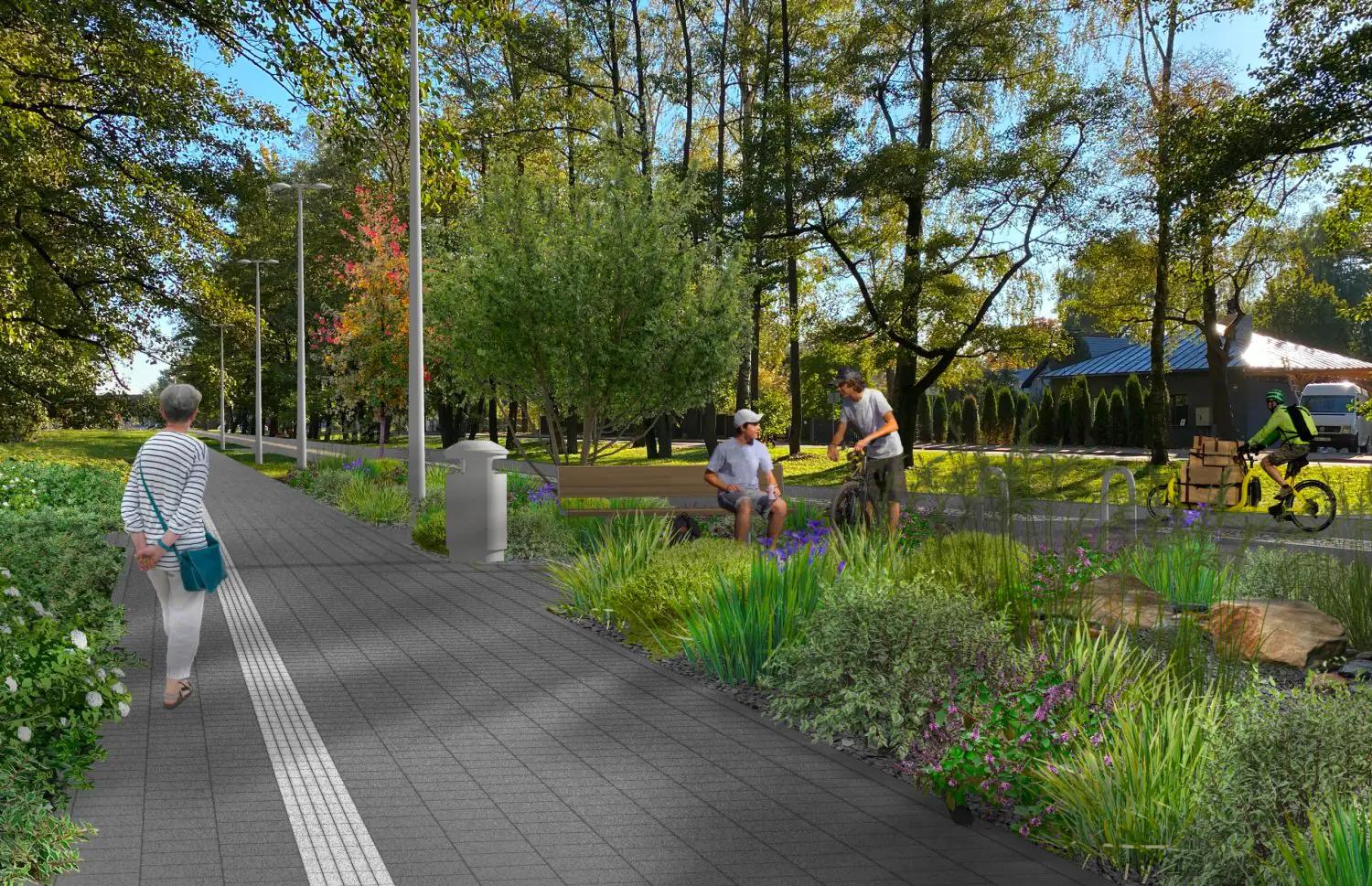
However, just four days later, following protests and media coverage, the council proposed reducing the number of trees to be felled. By 1 November, the department must have developed a new tree felling plan. The project plans to plant a total of 126 new trees, over 3,900 shrubs, and over 13,000 other plants.
flickr.com / Rīga
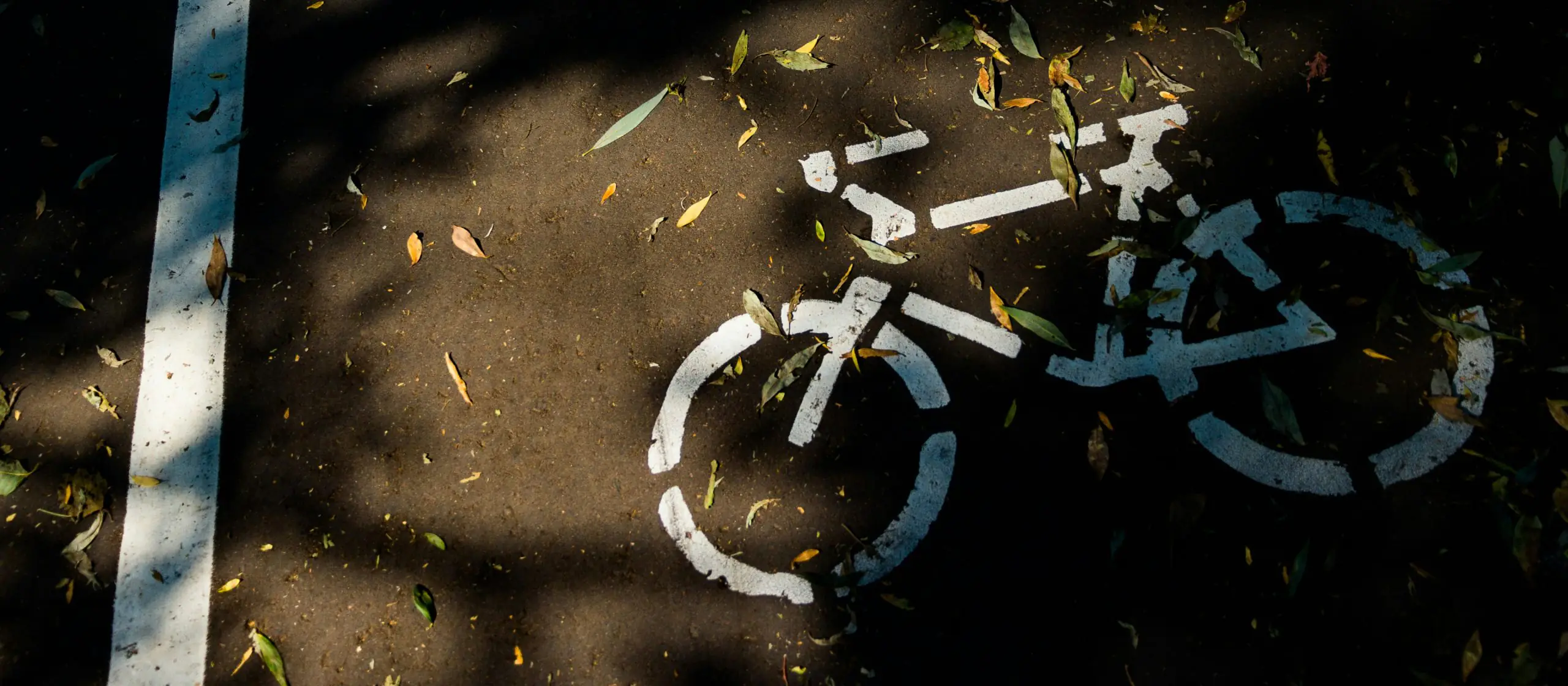
Can trees be preserved?
Experience from other European cities shows that building cycling infrastructure does not always require major landscape changes. It can be achieved through changes to road markings, the use of existing routes, or the construction of multi-level paths above ground. We have identified and categorised these examples by approach.
1. Remarking
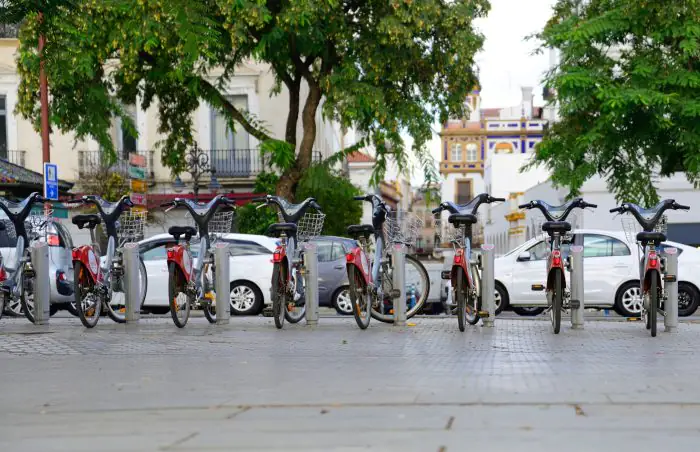
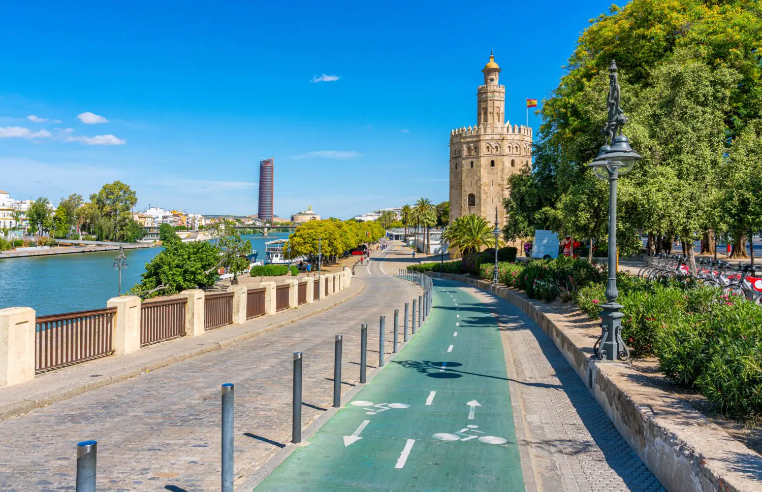
The simplest and most obvious solution is to build the cycle path on a road or car park, rather than on a green space. This is what happened in Seville, for example.
stock.adobe.com
Between 2005 and 2010, the city’s cycling infrastructure expanded from 12 to 120 kilometres of separate cycle lanes. Most of these lanes were two-way and were constructed in place of former parking lots. At the same time, they were raised to the level of the pavement. This increased the safety of cyclists and made it more difficult for subsequent governments to convert the cycle lane back into a parking space. Consequently, this small city became the cycling centre of Spain in just a few years.
stock.adobe.com
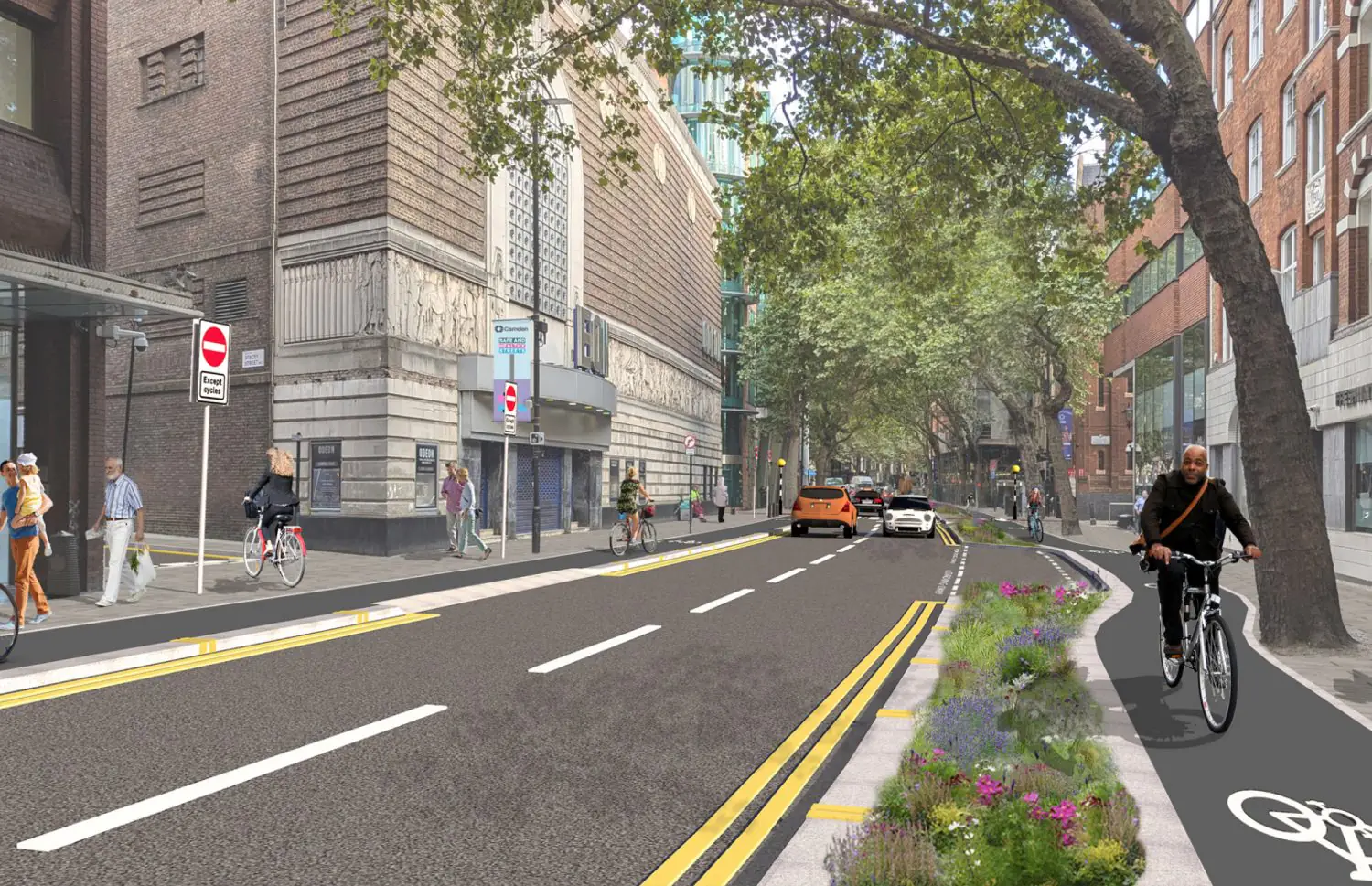
In London, segregated cycle infrastructure has also recently been built on existing roads. Some of these lanes feature planters installed as dividing barriers, combined with bumpers resembling halves of rugby balls.
ianvisits.co.uk
2. Use of pre-made corridors
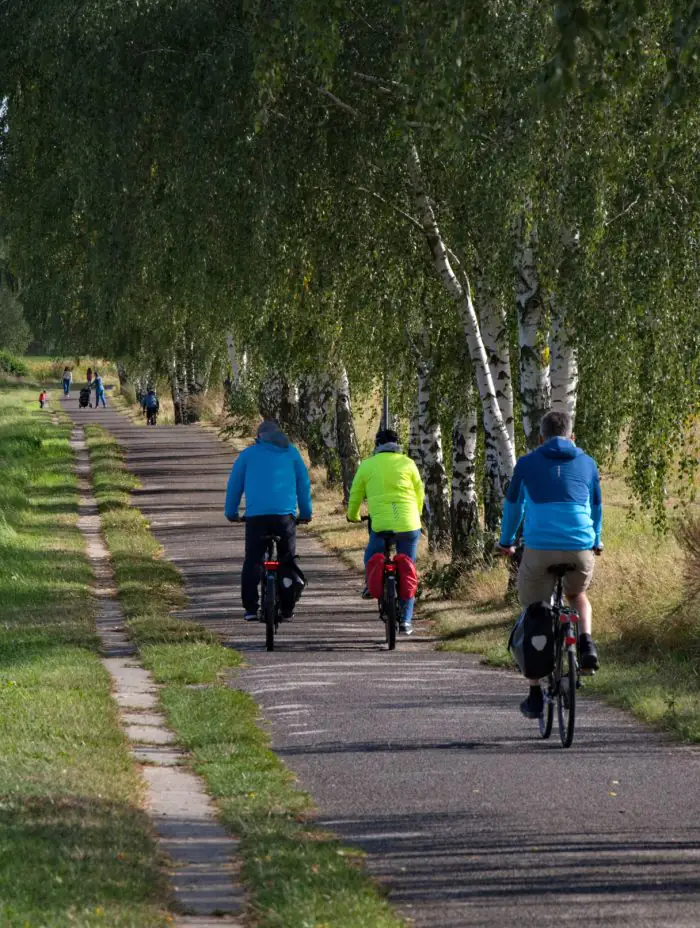
Cycling routes are often created using disused infrastructure, such as former railway embankments, artificial canals and power line corridors. An example of this can be seen in Berlin, where the Berlin Wall Trail (Berliner Mauer Mauerweg) was constructed between 2002 and 2006.
A walking and cycling route about 160 kilometres long has been created along the former border fortifications, which used to surround the territory of West Berlin. Sections of the route of historical interest, featuring traces and remnants of the Wall, alternate with natural attractions. Maps are installed at regular intervals to help pedestrians and cyclists navigate the route.
stock.adobe.com
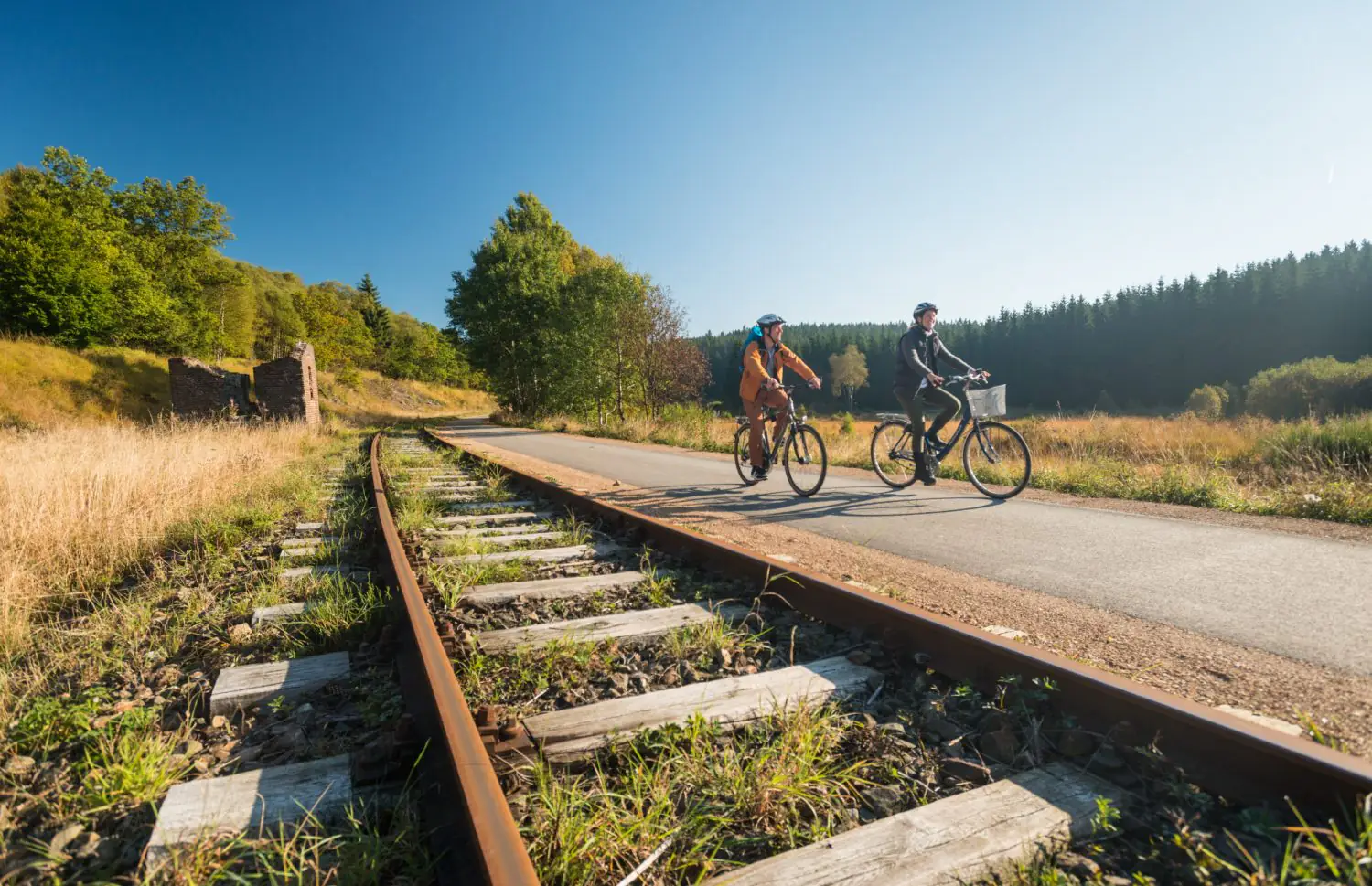
Another notable example is the Vennbahn, a 125-kilometre cycle route following a disused railway line connecting Belgium, Germany, and Luxembourg. The line was used to transport goods until it was closed in 2001 due to poor condition and low traffic. The cycle route passes abandoned stations, idyllic landscapes and picturesque historic towns with half-timbered houses.
visitwallonia.com
3. Multi-level tracks
Another way to significantly reduce the impact on the landscape — albeit only over short distances — is to build bridges and flyovers instead of ground-level routes.
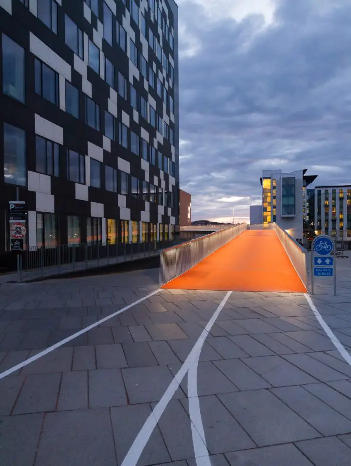
In Copenhagen, for example, Dissing+Weitling designed the 200-metre Cykelslangen (‘Bicycle Snake’) cycle path in 2014. It runs above the waterfront and pedestrian traffic. It elegantly winds between the surrounding buildings, connecting the banks of a small bay.
archdaily.com / DISSING+WEITLING Architecture
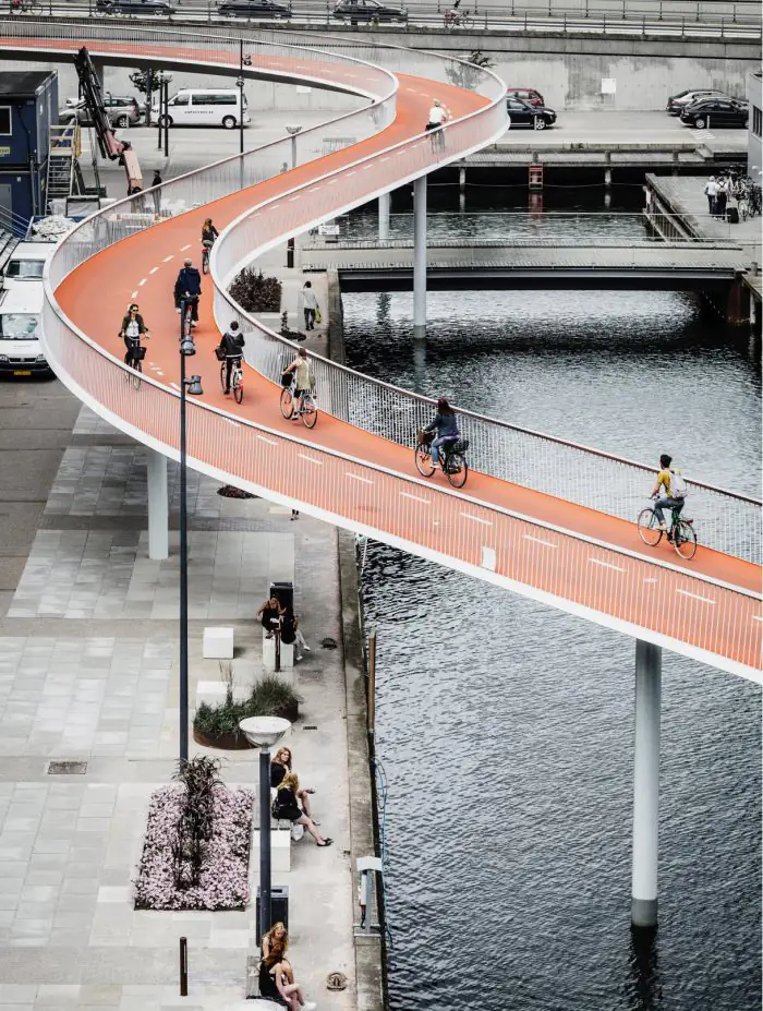
dac.dk
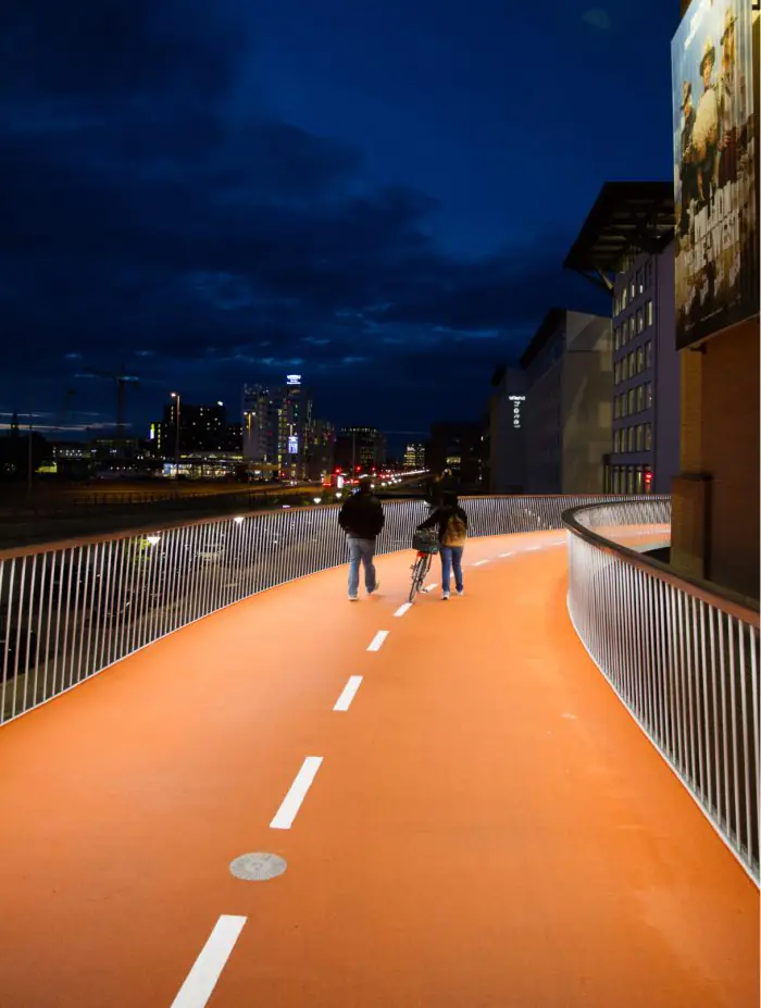
archdaily.com / DISSING+WEITLING Architecture
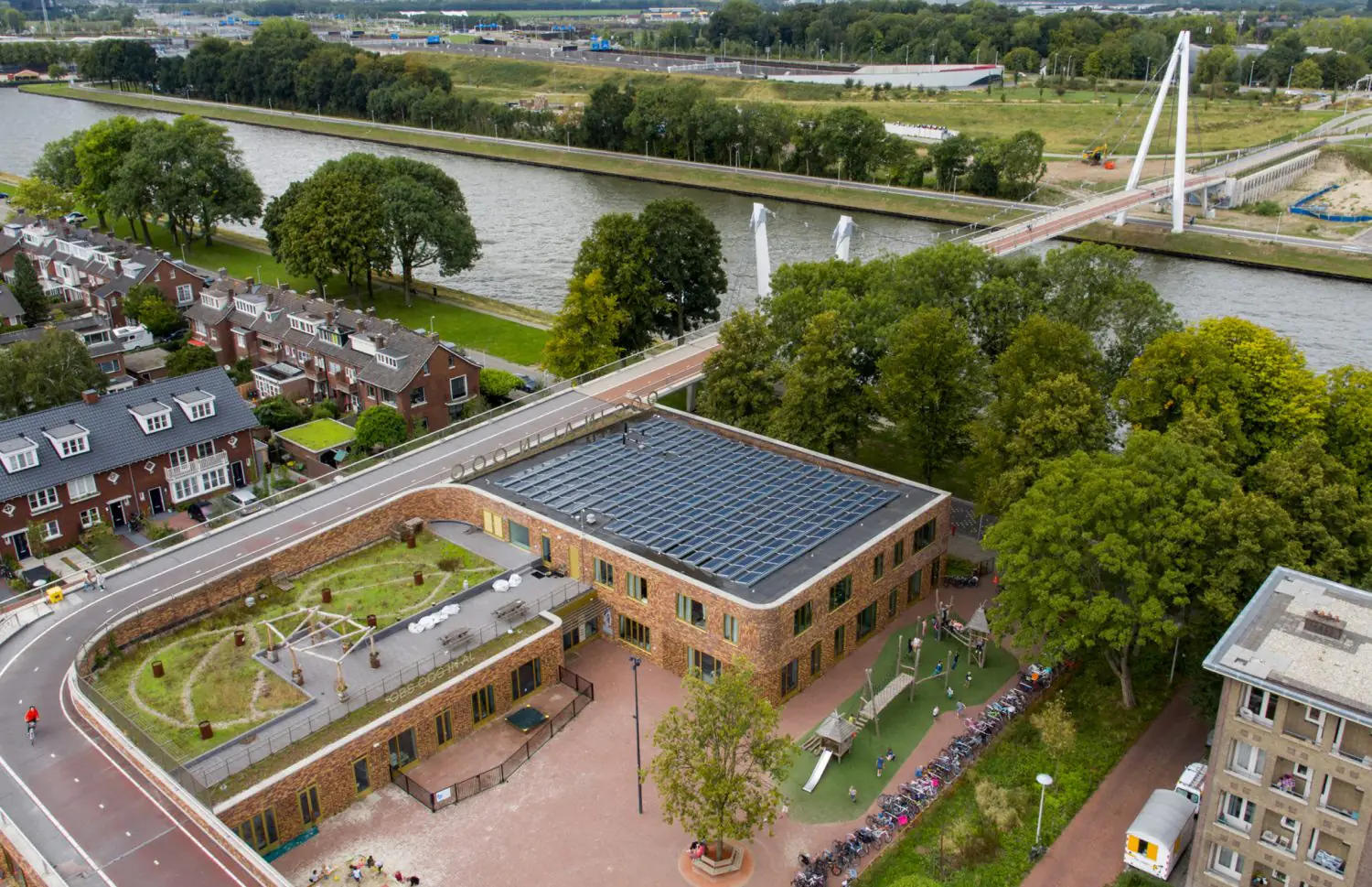
Similarly, in Utrecht, NEXT architects created the Dafne Schippersbrug bridge, integrating the bicycle bridge with the roof of a school to add a unique landscape feature while connecting the banks of two rivers.
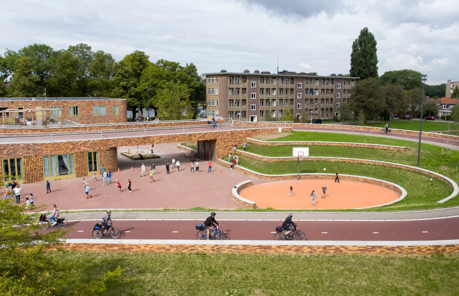
archdaily.com / NEXT architects, rudy uytenhaak + partners architecten
Photo: Marcel IJzerman, Mastum Dakysystemen Murice Iseger
4. Temporary changes
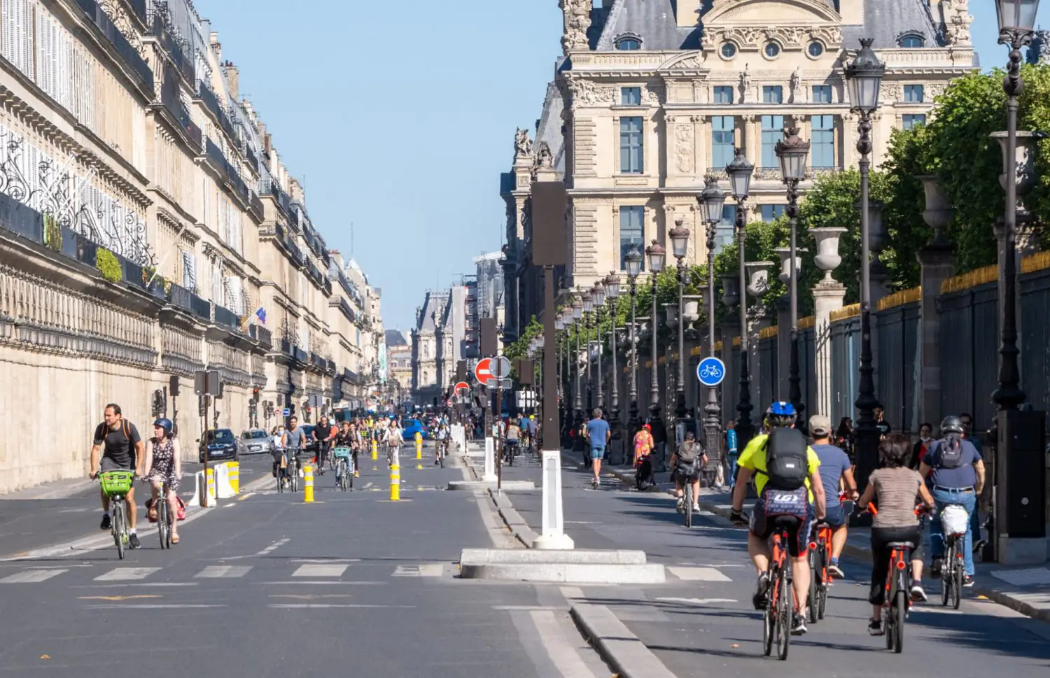
To create optimal bike lane solutions, especially in areas where they have never existed before, large cities use temporary measures. These are easily dismantled and, if successful, can be made more permanent. The Parisian urban bike lane network, Vélopolitain, currently covers approximately 180 kilometres, with 52 routes having been made permanent. The city council’s ultimate goal is to make the city ‘100% safe for cyclists’.
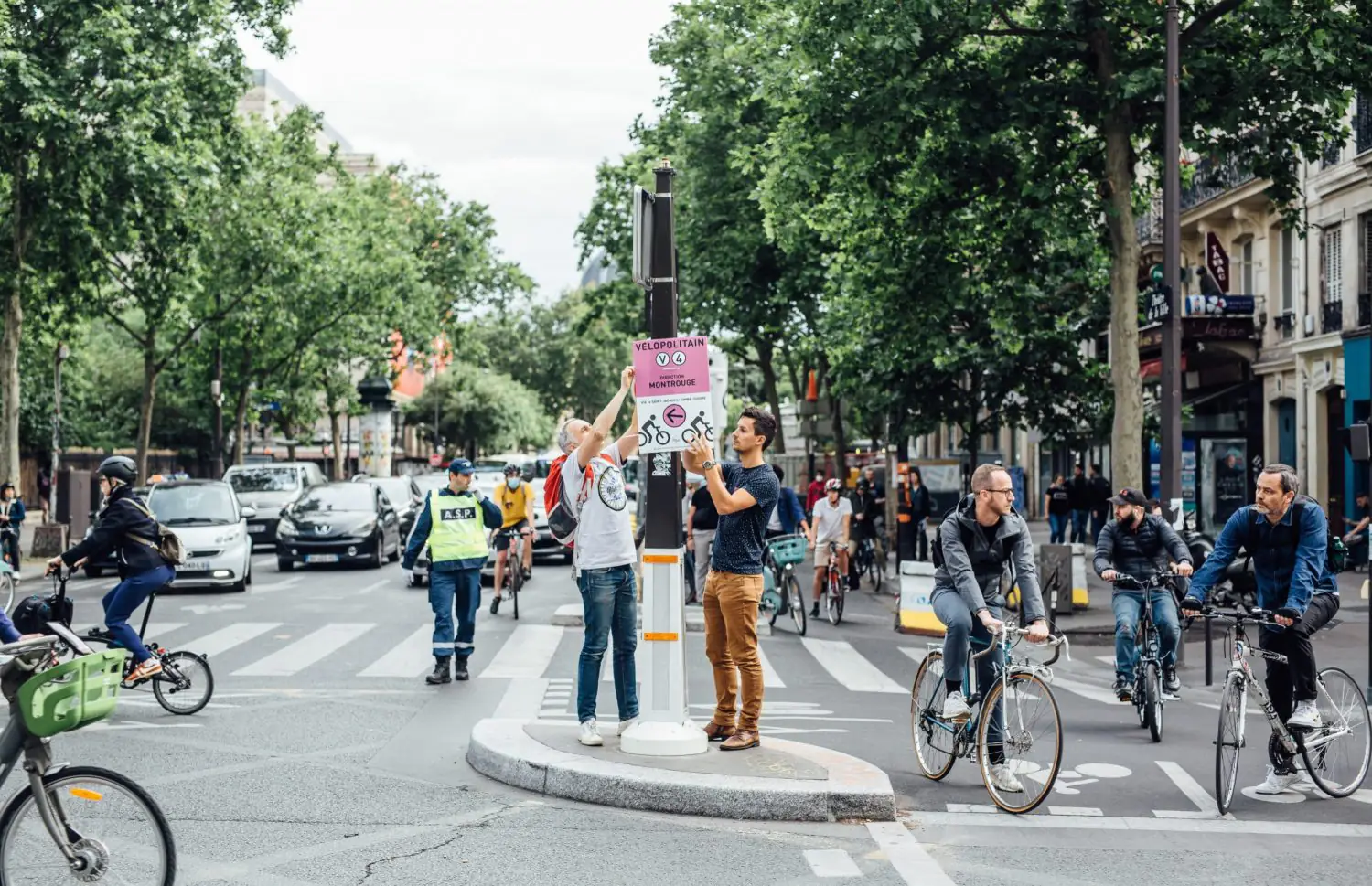
After the first lockdown, for example, a temporary cycle lane was created on Rue de Rivoli and other transport arteries in central Paris. Various adjustments were necessary before it could become permanent, such as clearly indicating the direction of traffic for cyclists between the existing two-way road and the new bike lane, redesigning pedestrian crossings, and so on.
flickr.com / Jonathan SARAGO / MEAE