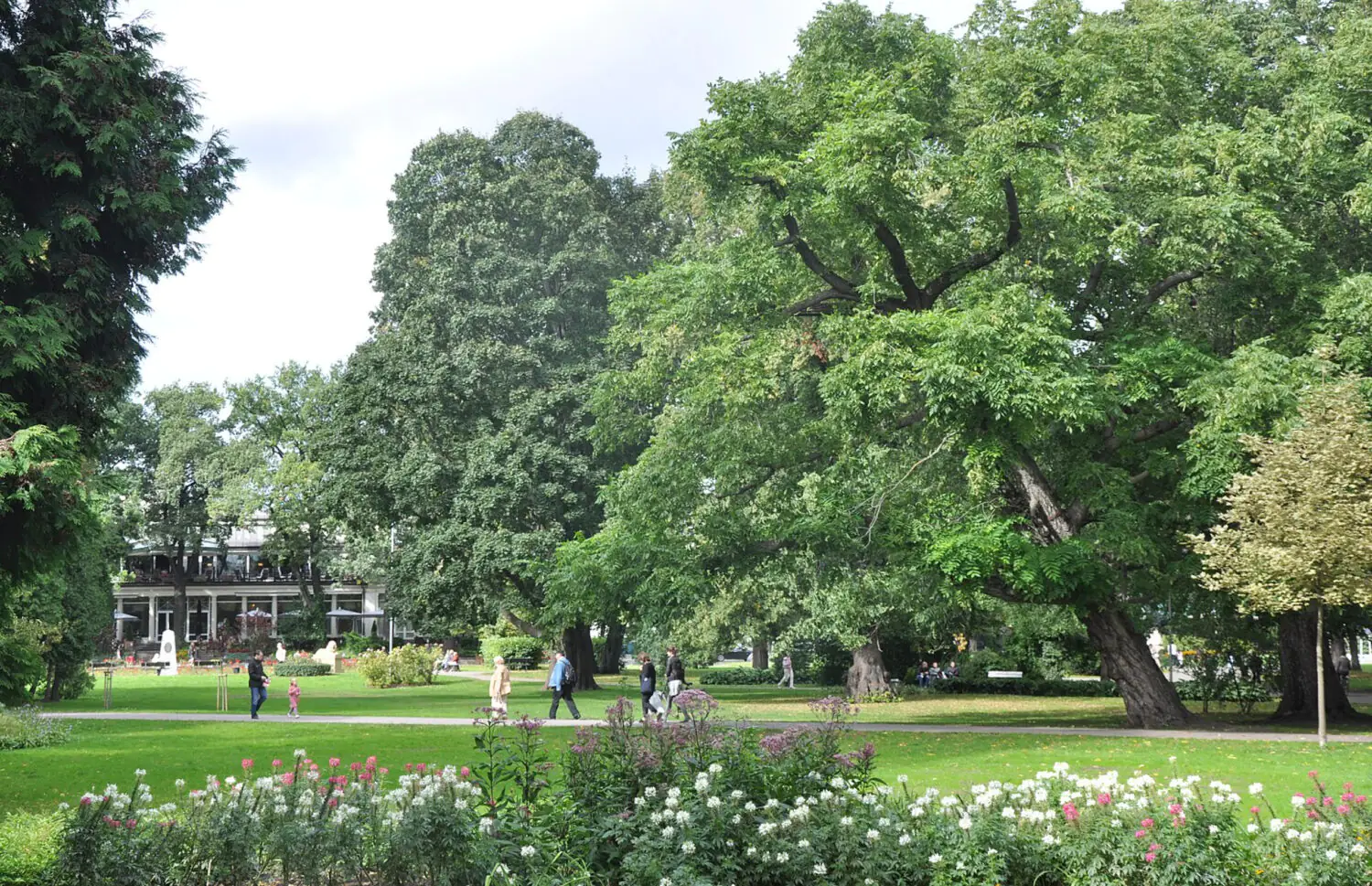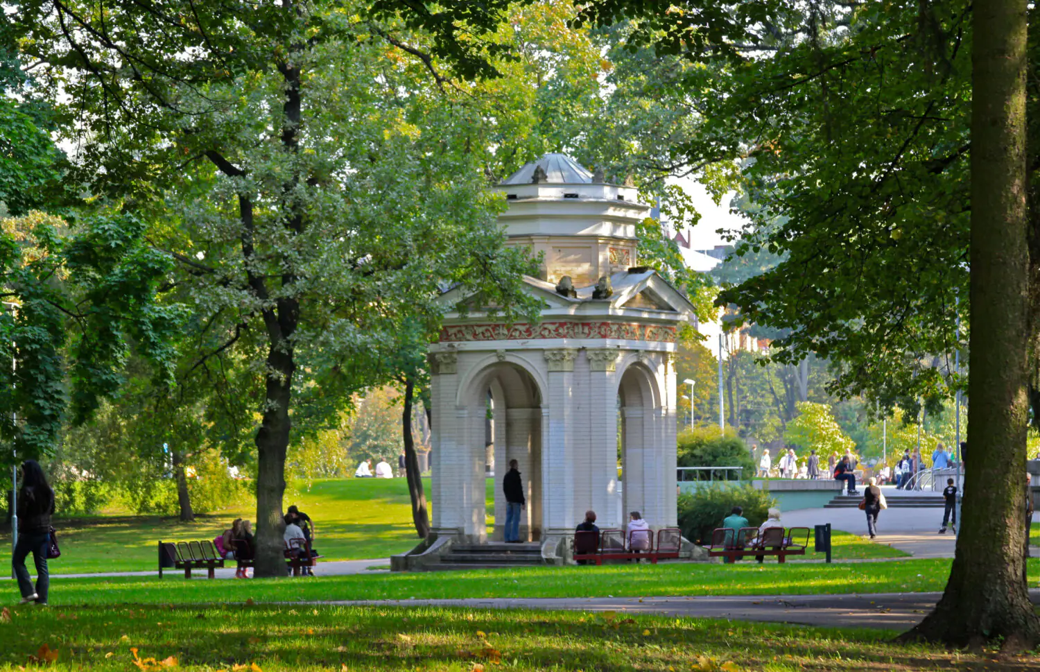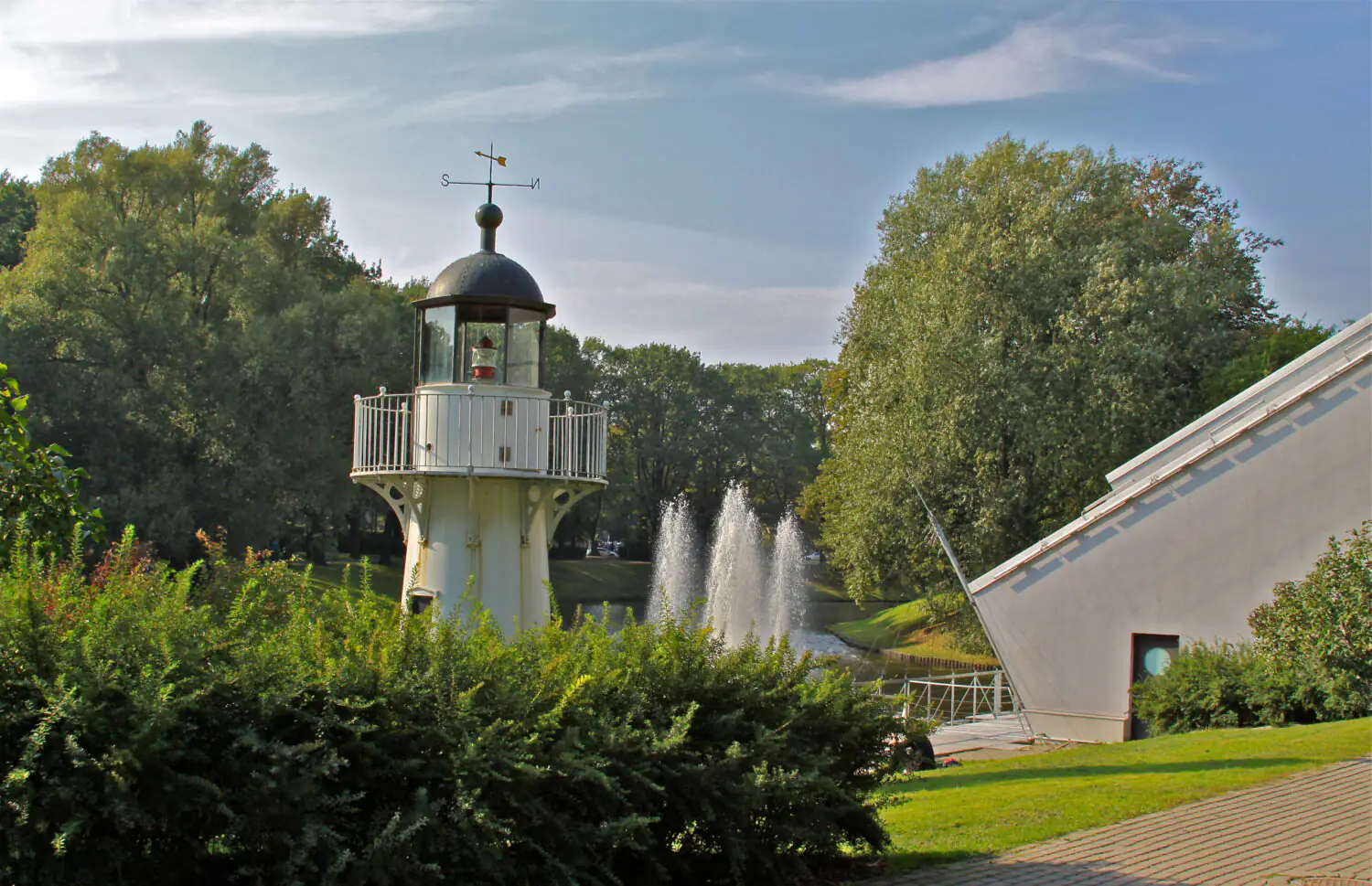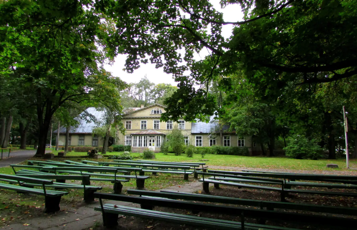
A park in the city is an absolute value: this public space helps people to stay connected to nature, offers scenarios for physical and emotional relief, forms horizontal connections and works as an important part of the urban ecosystem: it reduces air pollution, collects storm water, combats the heat island effect, forms an environment for insects, birds and small animals.
Riga is a green European capital, but despite this not all citizens have a public garden, park or forest within a 15-minute walking distance.
General Data
Riga’s green spaces can be divided into three types:
- Squares, pocket parks and gardens are small publicly accessible green spaces within the urban built-up area, with an area ranging from 0.25 ha to 4 ha. These spaces occupy 37.1 ha of urban area—this is 0.12% of the total territory of Riga and 0.5% of the total area of green spaces in the city.
- Urban parks are publicly accessible green spaces within the urban built-up area ranging from 4 hectares to 20 hectares. These spaces occupy 242.7 ha—0.8% of the total urban area and 3.2% of the total green space in the city.
- Forest parks and forests are large green areas with an area of more than 20 hectares. They are often located next to rivers and lakes. These spaces occupy 4,188.2 ha—13.82% of the total area of Riga and 55.4% of the total area of green spaces in the city.
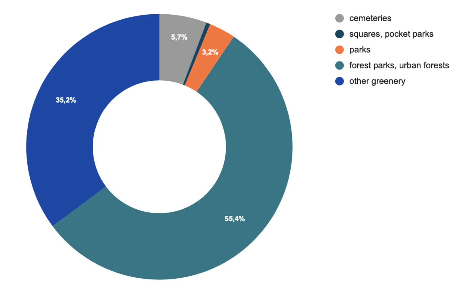
The total area of public gardens, parks and forest parks in Riga is 4,468.2 ha—14.69% of the total area of the city. And the total area of all green spaces in the city is about 7,565.9 ha, i.e. 24.9% of the total area of Riga. Of these, 59.1% are public gardens, parks, forest parks and urban forests and 5.7% are occupied by cemeteries, memorial parks and other burial grounds.
Compare these figures with the urban areas that parks and gardens occupy in the total area of other cities around the world:
- Oslo — 68%
- Stockholm — 40%
- London — 33%
- Barcelona — 28%
- Seoul — 27%
- Toronto and Amsterdam — 13%
- Paris — 10%
But let’s return to Riga. Most of the city’s parks, ranging in size from 4 to 20 hectares, are concentrated in the historical and central part of the city and its neighbourhoods: where neighbourhood planning and a dense street grid prevail.
Further away from the centre, where neighbourhoods are more likely to be located, there are fewer parks of up to 20 hectares, but an increasing number of forests and woodlands. Along the eastern, north-eastern, northern and north-western boundaries of the city, a green belt of forest and park areas is forming – these large green areas are linked by pedestrian routes and can potentially be considered as a single green belt, i.e. an important part of the urban infrastructure.

Authors: umagamma
Optimal pedestrian accessibility—that is, the time in which citizens can access a park or forest—depends on the scale of the public space:
- 15 minutes to forest parks,
- 10 minutes to parks,
- 5 minutes to public gardens.
Currently, about 418,861 people live in Riga within optimal walking distance, which is 68.7% of the total population of the city (609,489 people).
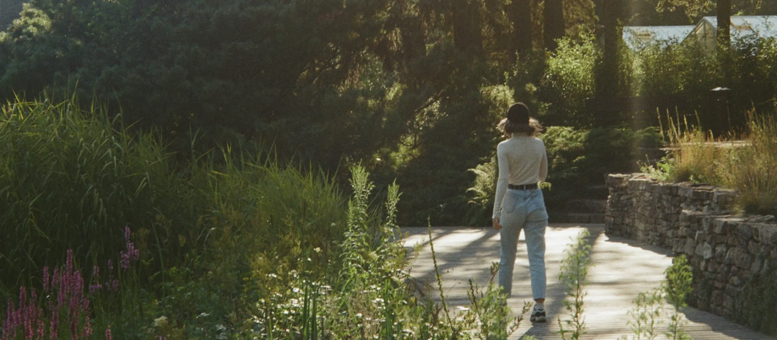
Pedestrian Accessibility of Parks in Different Neighborhoods
In 18 of Riga’s 58 districts, the percentage of people living within easy walking distance of green spaces exceeds 80%:
- Jugla — 100%
- Mežciems — 100%
- Daugavgrīva — 100%
- Mīlgrāvis — 100%
- Vecrīga — 100%
- Trīsciems — 100%
- Rītabuļļi — 99%
- Zolitūde — 98%
- Vecāķi — 98%
- Vecdaugava — 98%
- Vecmīlgrāvis — 96%
- Sarkandaugava — 96%
- Avoti — 95%
- Centrs — 93%
- Dzirciems — 89%
- Imanta — 84%
- Bieriņi — 84%
- Grīziņkalns — 82%
Among highly urbanized areas, Vecrīga, Mežciems, and Jugla can be considered the greenest. The entire population of these neighborhoods lives within optimal walking distance from green public spaces.
Vecrīga neighborhood is surrounded by the oldest city parks: Kronvalda parks, Bastejkalna parks, Esplanāde, Vērmanes dārzs.
The districts of Mežciems and Jugla are located in the western part of the city near Lake Kisezers. In contrast to Vecrīga, these are predominantly neighborhoods. Accessibility of greenery for local residents is mainly provided by large green areas characteristic for the neighborhoods: Biķernieku mežs (Biķernieku forest), Šmerļa forest, Jugla Forest, forest park around Lake Babelite.
Also important are several parks in the Jugla district: the park around Lake Velnezers, the so-called Devil’s Lake (Čertoks), the Strazdmuižas parks on the shores of Lake Kisezers—a popular recreation place for Riga citizens back in the 18th century, Kēgermuižas parks, also located on Ķīšezers Lake.
Among the most urbanized urban areas, the situation in terms of access to green public spaces is problematic in Dārzciems, Čiekurkalns and Brasa—there are no parks in these areas.
The Dārzciems neighborhood has a population density well above average and is located within a 20-minute drive from the city center. All residents of the Dārzciems neighborhood are outside the walking distance of green spaces: this means that 18,388 people cannot just walk in the park near their homes every day—they have to travel there on purpose.
The situation is similar in the Čiekurkalns neighborhood. Although the population density here is lower than average, the 7,686 people living here have no parks within comfortable walking distance. But the largest area in the city, occupied by a cemetery and a memorial park, is located nearby. Perhaps the integration of this vast green area into the everyday life of the citizens would help to improve the situation with the accessibility of greenery for the residents of the Čiekurkalns district: according to the Strava service, people are not very active, but still sometimes jog and cycle here.
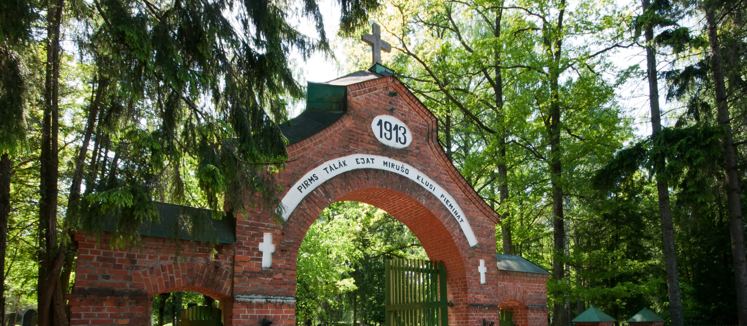
wikimedia.org
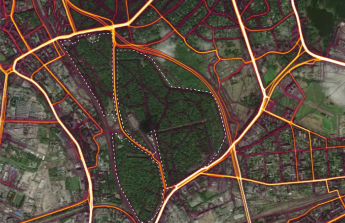
Strava, 2023 год
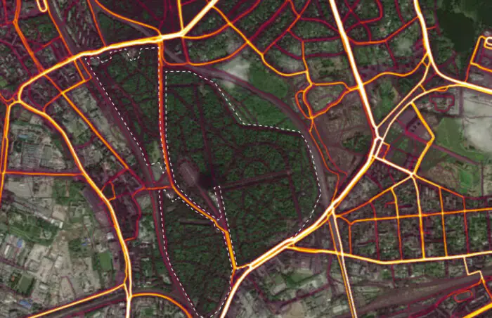
Strava, 2023 год
Only 12% of people in another high-density neighborhood, Brasa, live within optimal walking distance of green public spaces. This means that about 11,180 people do not have parks and forest parks close to their homes. At the same time, a significant part of the district’s territory is occupied by cemeteries: the large cemetery (Lielie kapi) and the Riga Pokrova cemetery (Pokrova kapi). It is not surprising that for lack of parks the locals actively cycle and jog here.
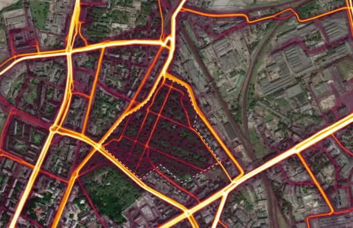
Data from Strava, 2023
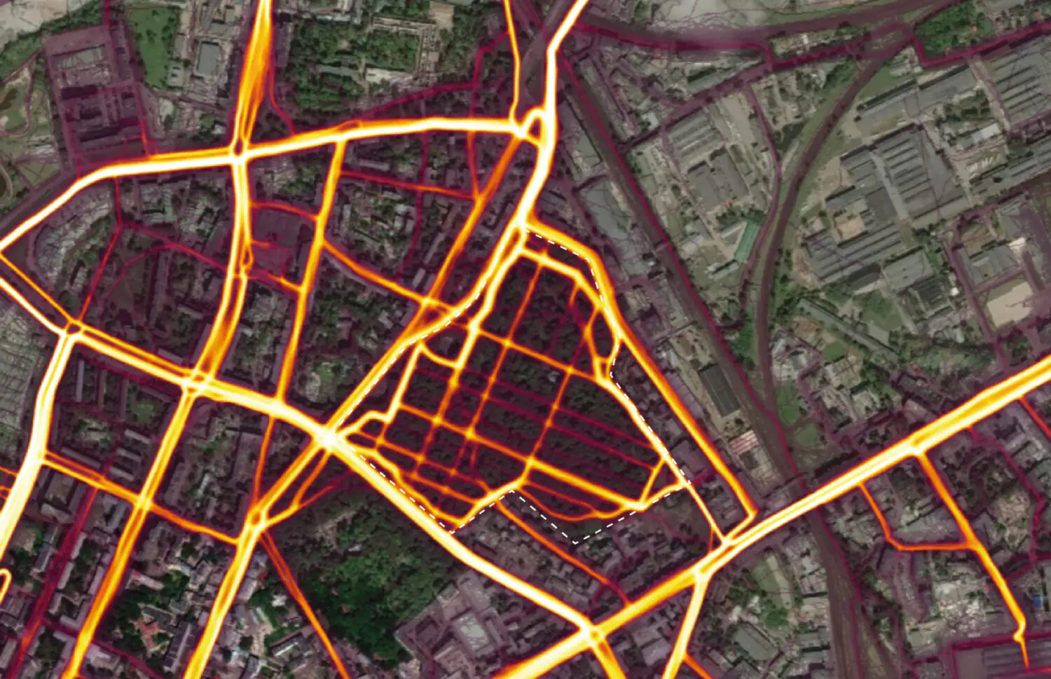
Data from Strava, 2023
A Few More Statistics
About 418,861 people (68.7% of the city’s total population) live within optimal walking distance of Riga’s parks. But about 190,628 people (the remaining 31.3% of the city’s population) do not have accessible parks within walking distance—and the city should consider how this can be changed, as parks and forest parks help to preserve the physical and mental health of the city’s residents.
The most favorable neighborhoods in terms of accessibility to green public spaces:
- Vecrīga
- Mežciems
- Jugla
- Mīlgrāvis
- Daugavgrīva
- Trīsciems
- Imanta
- Centrs
- Vecmīlgrāvis
- Avoti
- Zolitūde
- Sarkandaugava
- Grīziņkalns
- Dzirciems
- Bieriņi
- Vecāķi
- Vecdaugava
- Rītabuļļi
Least favorable neighborhoods in terms of accessibility to green public spaces:
- Dārzciems
- Čiekurkalns
- Dārziņi
- Berģi (apkaime)
- Bukulti (apkaime)
- Suži (apkaime)
- Kundziņsala
- Spilve
- Brasa
- Atgāzene
- Brekši
- Jaunciems
- Šķirotava
- Mangaļsala
- Mūkupurvs
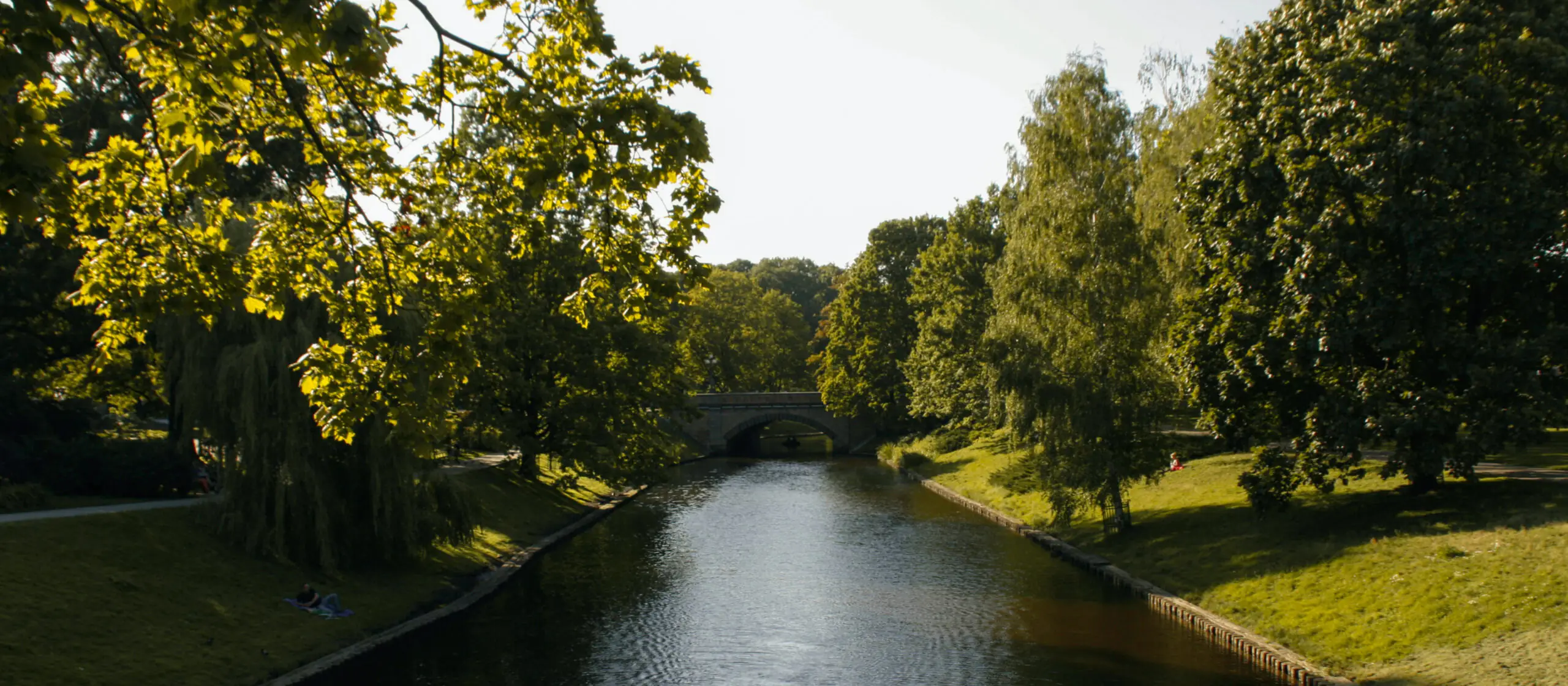
Despite being one of the greenest European capitals, Riga has problems with accessibility to parks and forests for as much as a third of the city’s citizens, which means that if the city’s population grows, this problem will grow with it.
This text is an exploration of the potential that Riga’s green spaces have. The first observations made in it need to be developed further. Based on the collected data, several hypotheses can be put forward. The first one is that the number of green spaces in both neighborhoods and micro-districts can be increased by means of pocket parks.
The second hypothesis is that Riga has a huge resource in the form of forest parks and forests near the city border: the people of Riga are already actively using them, but for many people they remain difficult to access, and within these areas there is often no convenient infrastructure—it can be gradually developed.
The third hypothesis is that cemeteries can be used as additional publicly accessible green spaces: their area in Riga is 420.5 ha, which is 1.38% of the total area of the city. Some of them are already used by citizens for walking.
The practice of integrating cemeteries into the system of urban public spaces already exists in Scandinavia and helps, among other things, to make them safer. We will tell you how it works in the following articles.
We will continue to collect data and share it in the next texts with umagamma—stay tuned for updates.


