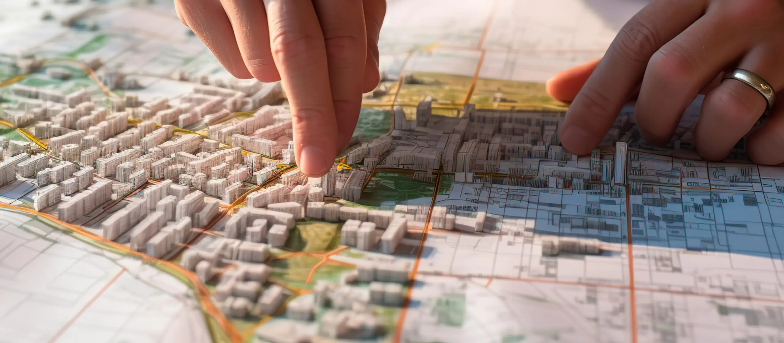
The plan of the city is constantly changing. At the same time, any planning of the urban structure takes place not only at the level of form, but also at the level of meanings: urban planning is a very complex modeling, a way to guide and structure the development of the city and its inhabitants, to predict risks and respond to them in advance.
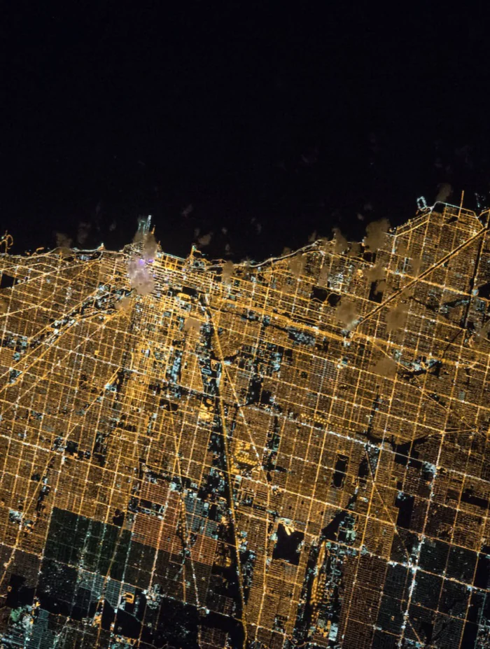
Sometimes the structure of a city is understood as the pattern formed by open and built-up areas and the network of streets and roads between them. In such a classification, four types of urban layouts are distinguished: grid-network (rectangular), radial-ring, ray (fan) and linear. Such planning structures rarely exist in pure form: often several types are mixed in one city.
chicagomag.com
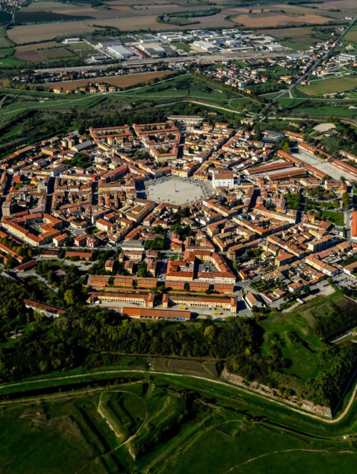
Пальманова, Италия
cdn.elebase.io
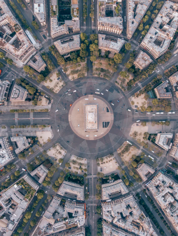
Парижа, фрагмент
adobestock.com
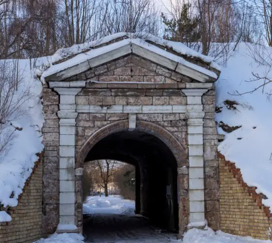
Cities evolve and reshape over many decades and even centuries as a result of both conscious and unconscious human actions. Often, original urban layouts become more complex, transformed or partially destroyed to form a complex urban fabric.
American urbanist and researcher Kevin Lynch formulated the idea of urban development this way:
“Not only is the city an object which is perceived (and perhaps enjoyed) by millions of people of widely diverse class and character, but it is the product of many builders who are constantly modifying the structure for reasons of their own. While it may be stable in general outlines for some time, it is ever changing in detail. Only partial control can be exercised over its growth and form. There is no final result, only a continuous succession of phases. No wonder, then, that the art of shaping cities for sensuous enjoyment is an art quite separate from architecture or music or literature. It may learn a great deal from these other arts, but it cannot imitate them”.
When urban planning teams develop master plans, their projections span 5 to 20 years: urban transformation has a very slow pace.

By the way, urban planners are quite young specialists: despite the fact that ideas about how cities should be built and developed were formulated before our era (first it was engineers, including military, and then architects), only in the middle of the XX century, somewhere in the 1950s, after rapid urbanization and two world wars, universities began to appear specialties called Urban Planning and Urban Design, dedicated to the design of cities.
There are other important precedents for urban planning in the 20th century: it was in this century that a huge number of new cities emerged, often linked to the desire of new political regimes to enshrine their ideals in the form of spatial designs. New cities were actively built in different parts of the USSR or, say, in Brazil, where the capital was moved to the newly built city of Brasilia. As a rule, the artificial construction of large-scale cities leads to deplorable consequences: a city should develop systematically and go through gradual stages of growth, rather than be constructed at once as a huge settlement.
adobestock.com
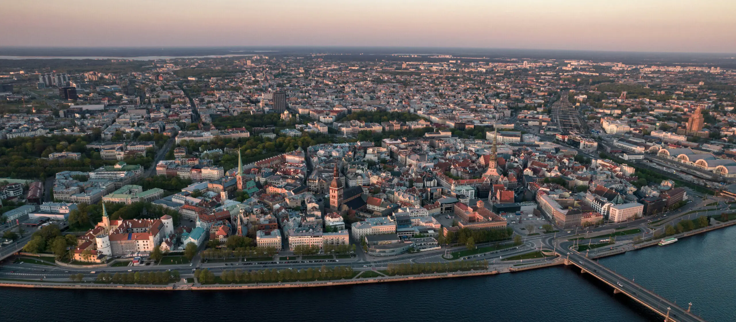
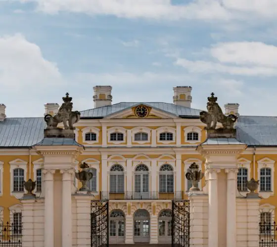
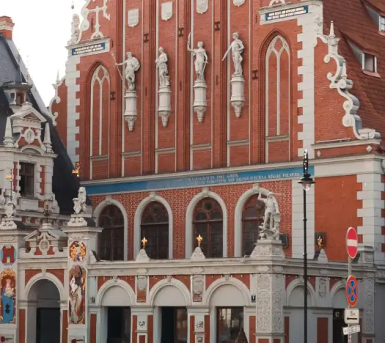
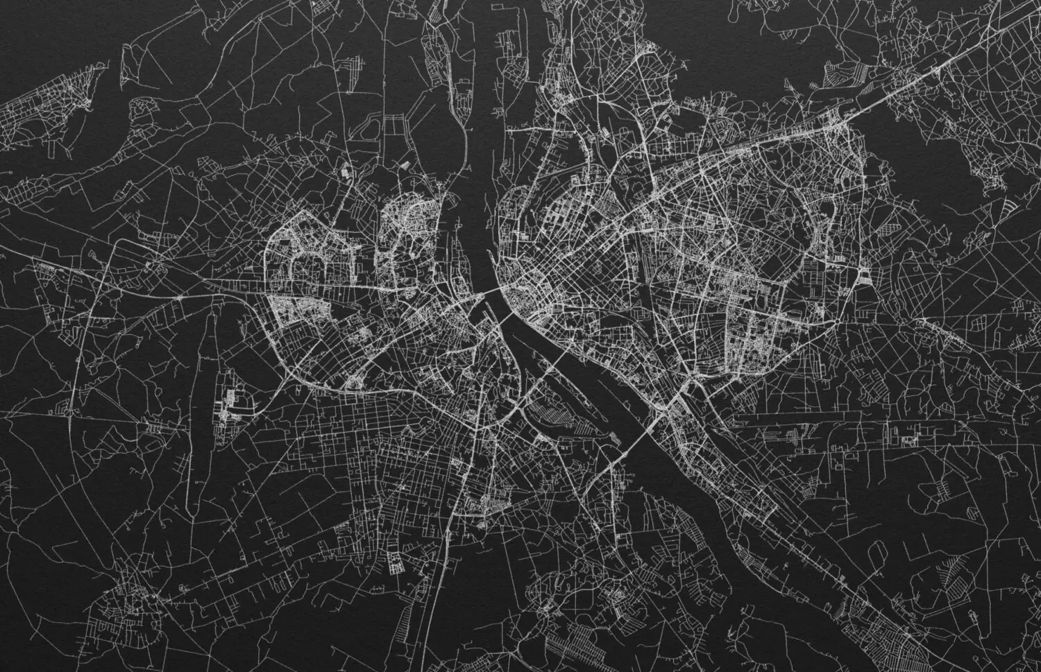
But the history of Riga is the history of progressive development of the port city located on two banks of a large river. The city began to form actively at the turn of the XII–XIII centuries under the influence of trade and the movement of Dutch ships on the Baltic Sea and the Western Daugava.
adobestock.com
Already in 1282 Riga concluded trade partnership agreements with German cities, thus laying the foundations of the Hanseatic League, after which it became an important trading city and for several centuries was the largest and richest city on the eastern coast of the Baltic Sea.
In the second half of the XIX century and the first quarter of the XX century the number of citizens grew several dozen times, and the area of the city from 1850 to 1913 increased 10 times: the reason for such rapid development was the rapid growth of industry and, as a consequence, trade.
города
adobestock.com
города
adobestock.com
города
adobestock.com
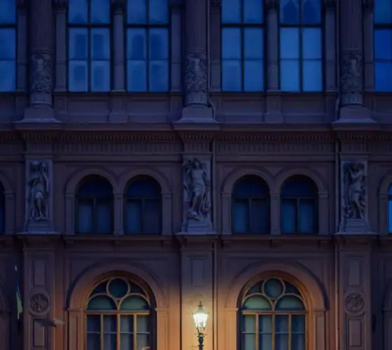
Even today, the city remains an important transportation hub: Riga is home to Latvia’s largest port, and the international airport receives flights from almost 40 countries.
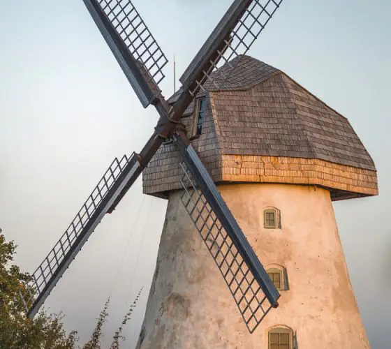
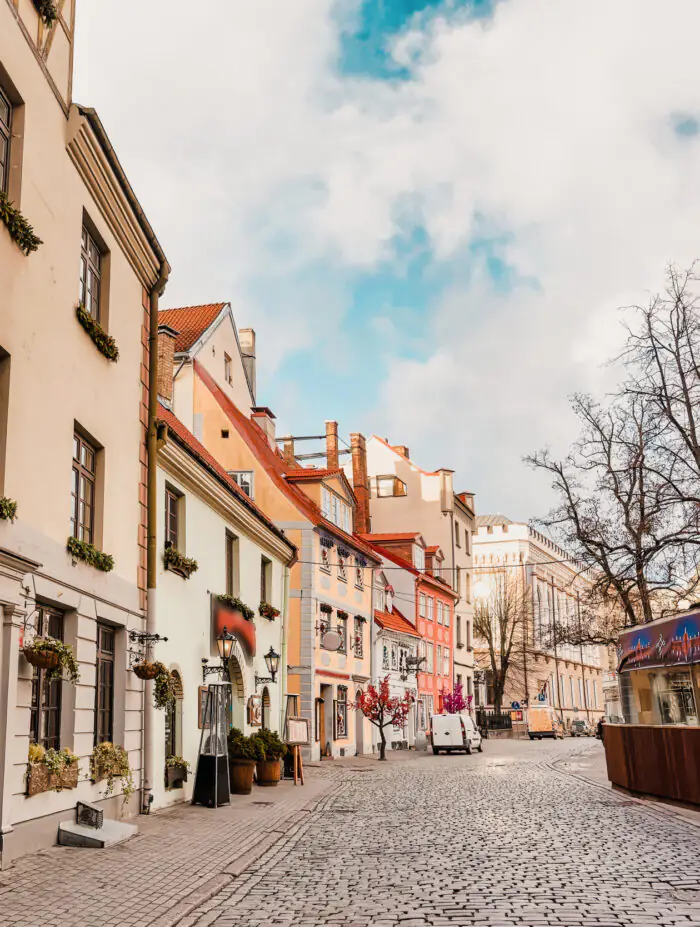
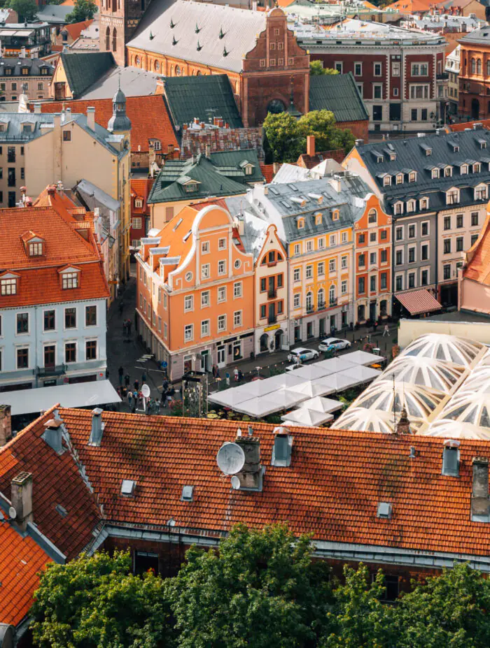
Since the city has developed gradually over many centuries and has been intensively rebuilt in the last century and a half, it has a mixed layout, which is very difficult to classify into one or two types: around the historical center, which now has a linear grid of streets and works as a strong urban core, different districts diverge in rays on both sides of the city: the connections between them form conditional rings of roads. Riga’s layout can be conventionally called radial-ring, but at the same time rectangular street grids are often located within the neighborhood-segments.